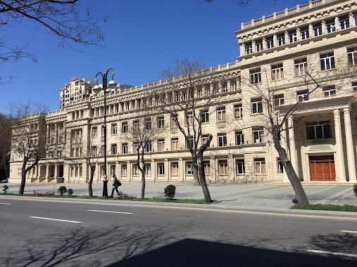
School nearby Jalal I
Azerbaijan
School nearby Jalal I
Jalal I
Baku, Azerbaijan
contacts phone
:
+994
Latitude:
40.379147
, Longitude:
49.8503402
larger map & directions
read more
nearest School
242 m
BSC Group
10, Fikrət Əmirov
School
read more
306 m
State Oil Academy of Azerbaijan - main building
Baku
School
read more
357 m
Akademiya Telim ve Tedris Merkezi
Dilarə Əliyeva Küçəsi, Bakı
School
read more
372 m
Business Management School (BMS)
203b, Nizami Street, Baku
School
read more
396 m
Master School
Nizami küçəsi 203B, AF Business House 5-ci mərtəbə, Bakı
School
read more
527 m
Trio
Gulustan Appartment Block, 251 Dilara Aliyeva, Baku
School
read more
576 m
Talent Studio By Sevimli Bala
Baku
School
read more
626 m
Elitar Gimnaziya
49 Nizami, Bakı
School
read more
678 m
AĞ AT Şahmat Akademiyası
Avenue Veraj Plaza, 4-cü mərtəbə, Şamil Əzizbəyov, Bakı
School
read more
854 m
mekteb mga
52 Üzeyir Hacıbəyov, Bakı
School
read more
900 m
Bsu Mlk
Baku
School
read more
1.104 km
Prestij-S Tədris Mərkəzi(kurs)
Baku
School
read more
1.134 km
School No 27
Nizami, Bakı
School
read more
1.403 km
Baku Turkish Anatolian High School
77 Alibey Huseyn-Zadeh Street, Bakı
School
read more
1.558 km
Türkiyə Dəyanət Vəqfi Bakı Türk Liseyi
Baku
School
read more
1.604 km
Günəş Kindergarten
Firuz Gambarov, 14C Firuz Gambarov, Bakı
School
read more
1.605 km
Bakı Şəhər Baş Təhsil İdarəsi.
Bakıxanov Küçəsi, Bakı
School
read more
1.847 km
gig study
37 Xocalı prospekti, Bakı
School
read more
2.079 km
55 nomreli tam orta mekteb
Baku
School
read more
2.109 km
Nəsimi Rayon 5 Nomreli Mekteb
Baku
School
read more
2.143 km
MilliByte
Baku
School
read more
2.71 km
Nömrə 1 Tədris Mərkəzi
Həsən Əliyev Küçəsi, Bakı
School
read more
2.947 km
Ankara Baki mektebi
47 Təbriz küçəsi, Bakı
School
read more
2.96 km
School No. 39
106 Fətəli Xan Xoyski, Bakı
School
read more
3.063 km
ISTAK International School
93 F.Khoisky, Bakı
School
read more
📑
all categories
Accounting
Administrative area level 2
Airport
Amusement park
Art gallery
Atm
Bakery
Bank
Bar
Beauty salon
Bicycle store
Book store
Bowling alley
Bus station
Cafe
Campground
Car dealer
Car rental
Car repair
Car wash
Cemetery
Church
City hall
Clothing store
Colloquial area
Convenience store
Courthouse
Dentist
Department store
Doctor
Electrician
Electronics store
Embassy
Establishment
Finance
Fire station
Florist
Food
Funeral home
Furniture store
Gas station
General contractor
Grocery or supermarket
Gym
Hair care
Hardware store
Health
Home goods store
Hospital
Insurance agency
Jewelry store
Laundry
Lawyer
Library
Liquor store
Local government office
Locality
Lodging
Meal delivery
Meal takeaway
Mosque
Movie theater
Moving company
Museum
Natural feature
Neighborhood
Night club
Park
Parking
Pet store
Pharmacy
Place of worship
Plumber
Point of interest
Police
Post office
Premise
Real estate agency
Restaurant
Roofing contractor
Route
School
Shoe store
Shopping mall
Spa
Stadium
Storage
Store
Subway station
Supermarket
Train station
Transit station
Travel agency
University
Veterinary care
Zoo
sublocality level 1
↑